San Francisco 1906: From Burning Streets to Temporary Homes
Published
Period
April–May 1906
Place
San Francisco, California, United States
Four archival photographs follow the 1906 disaster from a street under smoke and the Call Building to makeshift shelter and George Lawrence’s aerial panorama.
The 1906 San Francisco earthquake began shortly after 5:12 a.m. on 18 April. The strong shaking lasted roughly 45–60 seconds, according to the U.S. Geological Survey, but the city’s emergency continued as fires spread. Photographs give that longer disaster several scales: a street occupied by people, a tower surrounded by smoke, a small shelter among ruins and an aerial view taken more than a month later.
These four Library of Congress images preserve different moments. Arnold Genthe’s street photograph carries an exact date. The two stereograph cards are cataloged to 1906, without independently established exposure days. George Lawrence’s panorama is dated 29 May. Keeping those differences visible lets separate records tell their own stories within the longer aftermath.
The cards also survive as objects made for viewing in pairs. Their repeated scenes are the two views of a stereograph, designed to give an impression of depth. In the panorama, distance changes the question: the foreground and horizon show a city’s extent, while an individual person is almost lost. Together the images help explain why the event is remembered as both earthquake and fire, and why the aftermath involved finding room to live as well as clearing streets.
Topic: 1906 San Francisco earthquake
01 / 04
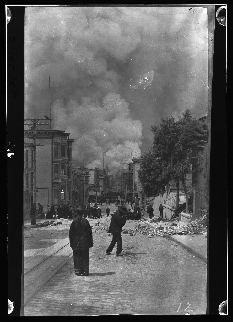
A street under smoke on 18 April
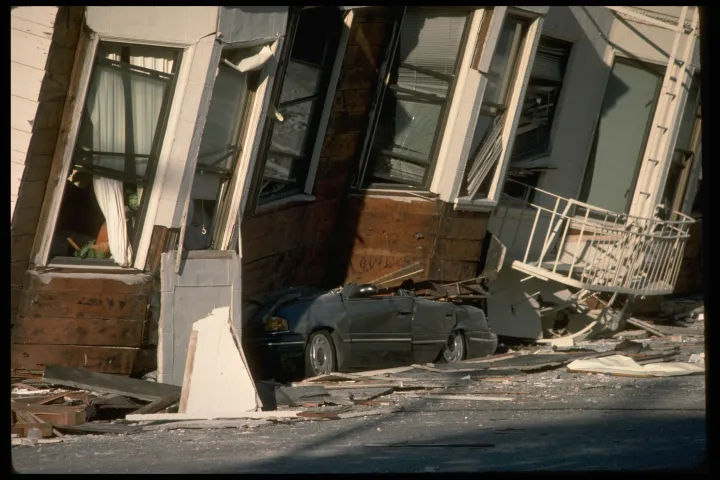
Two figures stand in the near foreground, with more people farther down the slope. Rails lead through the street while fallen masonry gathers along its edges; overhead, smoke fills much of the frame. Arnold Genthe’s photograph places the earthquake’s aftermath and the spreading fire within one narrow view. The Library of Congress dates the scene to 18 April 1906 but names only San Francisco, so the exact street is left open here. That restraint also keeps this image distinct from other, better-known Genthe views of the same disaster. The camera is close to street level, where rubble, tracks and buildings show how an ordinary route had become part of a citywide emergency.
Photo details
Date
18 April 1906
Location
San Francisco, California; exact street unconfirmed in this record
Photographer / artist
Arnold Genthe
Archive / collection
Library of Congress, Prints & Photographs Division — LC-G403-BN-0271-G / agc.7a55059
Rights / license
Library of Congress: no known restrictions on publication. Archive credit retained. Rights record: https://hdl.loc.gov/loc.pnp/res.073.agc
Arnold Genthe; Genthe photograph collection, Library of Congress, Prints & Photographs Division, agc.7a55059 / LC-G403-BN-0271-G.
02 / 04
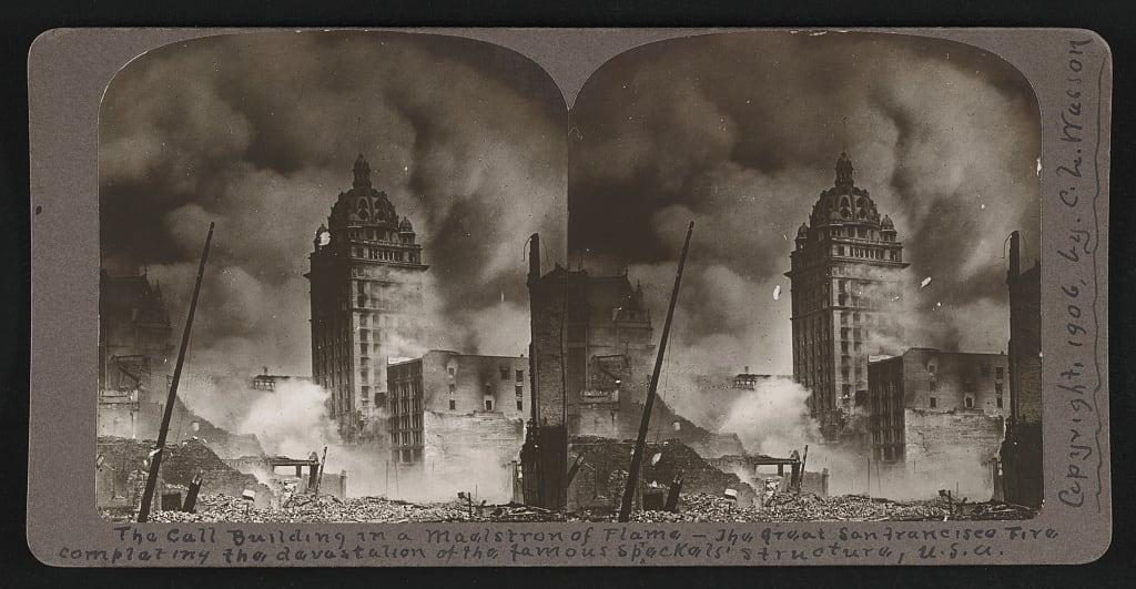
The Call Building inside the fire
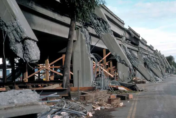
The tower rises through a dense field of smoke in this stereograph. Its title identifies the Call Building, giving the view a particular subject within the wider fire. The paired photographs preserve the card’s original viewing format: slightly different views intended to produce depth in a stereoscope. Today the object can also be read flat, with the borders and printed caption helping us understand how the disaster was circulated as an image. The Library of Congress dates the card to copyright 1906 and records C. L. Wasson’s copyright attribution. That information is not an exact exposure time. The structure remains recognizable while smoke interrupts the surrounding city, a visible contrast that does not require added color or dramatic reconstruction.
Photo details
Date
1906 (copyright date in the archive; exact exposure date unverified)
Location
Call Building, San Francisco, California
Photographer / artist
Photographer unidentified; C. L. Wasson, copyright attribution
Archive / collection
Library of Congress, Prints & Photographs Division — LC-DIG-stereo-1s48837
Rights / license
Library of Congress: no known restrictions on publication. Archive credit retained. Rights record: https://www.loc.gov/pictures/item/2005675868/
Library of Congress, Prints & Photographs Division, LC-DIG-stereo-1s48837. Stereo card copyrighted by C. L. Wasson; individual photographer unidentified.
03 / 04
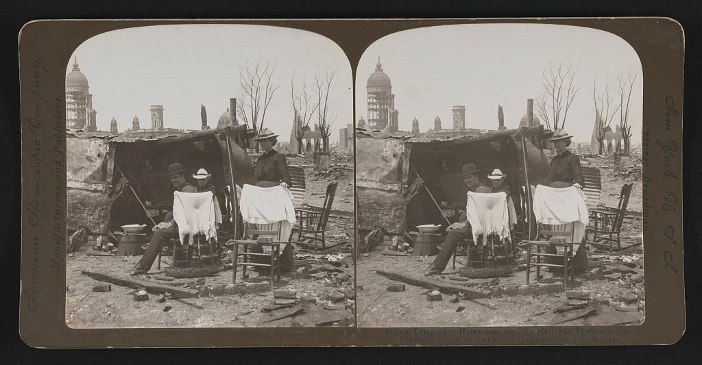
A small home among the ruins
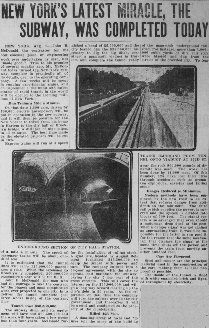
Chairs, hanging cloths and cooking utensils make a patch of ruined ground into a living space. Three people occupy the scene beside a low, rough shelter, with damaged buildings behind them. The card’s title places this temporary home near City Hall. At this close distance, the aftermath is measured in practical objects: something to sit on, somewhere to cook, a roof over belongings. The people’s names and length of stay are absent from the surviving record. The Library of Congress also cautions that its old caption-card data is unverified. The image still provides a detailed view of makeshift habitation, bringing the disaster down from a citywide panorama to the scale of a few chairs.
Photo details
Date
1906 (archive dating; exact exposure date unknown)
Location
Near City Hall, San Francisco, California (archive caption)
Photographer / artist
Photographer unidentified; American Stereoscopic Co., copyright attribution
Archive / collection
Library of Congress, Prints & Photographs Division — LC-DIG-stereo-1s48975
Rights / license
Library of Congress: no known restrictions on publication. Archive credit retained. Rights record: https://www.loc.gov/pictures/item/2005675897/marc/
Library of Congress, Prints & Photographs Division, LC-DIG-stereo-1s48975. American Stereoscopic Co. attribution; archive warns that old caption-card data is unverified.
04 / 04
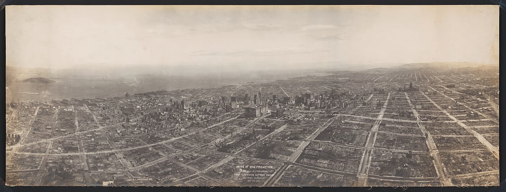
The ruined city from above
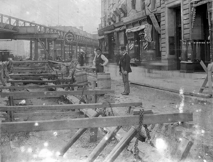
Dated 29 May 1906, this panorama makes the disaster’s scale visible across a broad sweep of San Francisco. Nob Hill occupies the foreground, while the urban grid extends towards the waterfront and distant horizon. Streets remain legible where whole blocks have been cleared by destruction, and surviving buildings interrupt the open ground. The archive title calls the viewpoint Lawrence’s Captive Airship and gives an elevation of 1,500 feet. The U.S. Geological Survey explains that the camera was supported by a series of kites. That method made an extraordinary overview possible. Taken more than a month after the earthquake, the photograph records the landscape left by shaking and fire from a distance no street-level camera could offer.
Photo details
Date
29 May 1906
Location
San Francisco, with Nob Hill in the foreground
Photographer / artist
Geo. R. Lawrence Co. (archive copyright claimant)
Archive / collection
Library of Congress, Prints & Photographs Division — LC-DIG-ppmsca-73525
Rights / license
Library of Congress: no known restrictions on publication. Archive credit retained. Rights record: https://www.loc.gov/pictures/item/2007663888/