
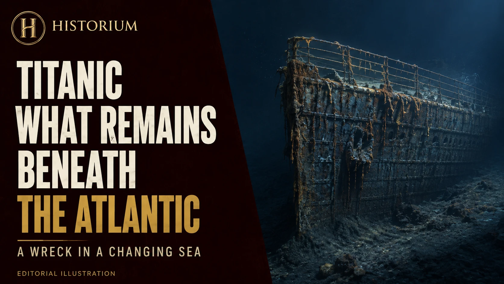

Titanic’s wreck is changing, but “changing” is more precise than a countdown to disappearance. A railing can fall while remaining identifiable on the seabed. A surface can become more visibly corroded without revealing exactly how much strength remains beneath it. Understanding the wreck’s future begins with distinguishing these different kinds of loss.
During its 2024 expedition, RMS Titanic Inc. documented the collapse of a roughly 15-foot section of the port-side bow railing. The company reports that multibeam imagery located the fallen section below. It was a specific, observable alteration to a familiar silhouette, rather than proof of a date when the entire wreck will vanish. The expedition record describes the finding.
A deep-sea environment is still an environment
Great depth can encourage the impression that a wreck rests outside ordinary time. Yet Titanic remains part of the ocean. NOAA describes the reddish, hanging formations called rusticles as communities of microorganisms involved in consuming the wreck’s iron. Their appearance records biological activity as well as the transformation of metal. Comparing them over time helps researchers investigate deterioration. NOAA’s explanation of rusticles places the wreck within an active marine environment.
The term “rusticle” is visually memorable, but it should not replace the whole explanation. A photograph captures a surface. It does not supply a complete structural survey, and a striking formation cannot tell us the condition of every plate, joint or support elsewhere in the vessel. The useful question is therefore not merely whether rust is present. It is what changes are taking place, where they occur and how those changes affect the remaining structure.
The first images became a baseline
The wreck was located in 1985, and Woods Hole Oceanographic Institution returned in July 1986 with the submersible Alvin and the small remotely operated vehicle Jason Jr. Alongside testing deep-sea technology, the expedition sought to extend visual documentation of the wreck. WHOI’s historical account describes the ambition to make underwater sites accessible through remote imagery while recording their condition. Its account of the 1986 return explains these purposes.
Those early pictures have a second life as comparison material. Images made for discovery and exploration can later help answer questions their makers could not fully anticipate. The date of a photograph becomes as important as its dramatic content. Without that date, a picture of deterioration may circulate as a new discovery even when it records a much earlier condition.
Better pictures need careful comparison
In a 2012 interview, WHOI imaging specialist William Lange explained why impressive footage and an archaeological survey are different achievements. Locating images accurately makes relationships between objects measurable. He also cautioned that improved cameras and lighting could make previously existing corrosion appear newly alarming, while acknowledging real openings and structural changes. His team sought to combine imagery across decades into a record of change. The interview explains both the promise and limits of visual evidence.
This is a practical problem for anyone viewing a before-and-after comparison. Are the camera angles alike? Is the same feature visible? Do brighter lighting and increased resolution reveal details that an older frame concealed? These checks do not dismiss damage. They make claims about damage more dependable. The strongest comparison identifies a feature and shows how it changed, instead of asking a viewer to judge whether an entire scene simply looks worse.
Surveying is more than visiting
NOAA’s 2004 expedition used the remotely operated vehicles Hercules and Argus to document the site with high-definition video and stereoscopic still photographs. The agency describes the mission as observational and intended to establish scientific information against which deterioration could be measured. It also connected the work at Titanic with understanding other submerged cultural sites. NOAA’s expedition overview sets out that research purpose.
An expedition has value beyond the moments that become famous. A repeated view of an unremarkable area may be more useful for measuring change than a single unforgettable shot. Recording positions, retaining earlier data and returning to the same features create the conditions for comparison. The patient parts of exploration are therefore central to the historical record, even when they contribute little to a dramatic film sequence.
What a forecast would have to explain
A responsible forecast needs a defined endpoint. Does “gone” mean an upper deck has collapsed, the hull has lost its recognisable outline, particular objects are buried, or no identifiable material remains? These are different outcomes. Reporting one as though it predicts all the others creates certainty that the observation cannot support.
The 2024 findings illustrate that distinction. The expedition also located and photographed the bronze Diana of Versailles statuette, which had last been seen in 1986. In the same survey, researchers encountered both a lost structural feature and a surviving object. RMS Titanic Inc.’s contemporary announcement records both results. Their coexistence resists a single, simple story of uniform disappearance.
Recording a maritime memorial
Preserving knowledge and preserving material are related but separate responsibilities. A digital record can retain dimensions, locations and visual relationships that later become impossible to observe. It cannot replace the physical object or make changes to the site reversible.
Titanic should consequently be approached as a historical place whose condition deserves accurate documentation and whose human meaning exceeds its most famous silhouette. The most useful account of deterioration follows evidence through time, states what each survey establishes and leaves uncertain deadlines uncertain. That approach protects both the wreck’s history and the reader’s understanding of what is happening to it.